
Thank you for supporting this site ❤️
Make a donation
Make a donation
Gear up for your next adventure:
As an Amazon Associate, this site earns from qualifying purchases at no extra cost to you.
Hacılar topographic map
Click on the map to display elevation.
Thank you for supporting this site ❤️
Make a donation
Make a donation
Gear up for your next adventure:
As an Amazon Associate, this site earns from qualifying purchases at no extra cost to you.
About this map
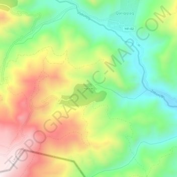
Name: Hacılar topographic map, elevation, terrain.
Location: Hacılar, Lachin District, East Zangezur, Azerbaijan (39.63262 46.35584 39.67262 46.39584)
Average elevation: 1,448 m
Minimum elevation: 1,150 m
Maximum elevation: 1,853 m
Thank you for supporting this site ❤️
Make a donation
Make a donation
Gear up for your next adventure:
As an Amazon Associate, this site earns from qualifying purchases at no extra cost to you.