
Maissin topographic map
Interactive map
Click on the map to display elevation.
About this map
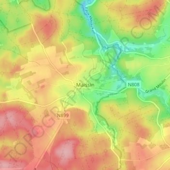
Name: Maissin topographic map, elevation, terrain.
Location: Maissin, Luxembourg, Wallonie, 6890, Belgique (49.94511 5.16058 49.98511 5.20058)
Average elevation: 378 m
Minimum elevation: 308 m
Maximum elevation: 436 m