Geolocate

Notton topographic map

Click on the map to display elevation.

About this map

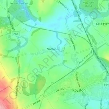
Name: Notton topographic map, elevation, terrain.

Location: Notton, Wakefield, West Yorkshire, England, United Kingdom (53.59485 -1.51225 53.62861 -1.44303)

Average elevation: 68 m

Minimum elevation: 37 m

Maximum elevation: 153 m

Gear up for your next adventure:

🏫Topographic World Globes - 3D physical relief globes to understand global geography
🎒Daypacks - Compact backpacks for short hikes
🕯️Emergency Whistles - Safety whistles for hiking
🚗Car Camping Gear - Equipment for vehicle camping
🧊Insulated Cooler Bags - Keep food fresh for day trips to remote geographic sites

As an Amazon Associate, this site earns from qualifying purchases at no extra cost to you.