
33880 topographic map
Interactive map
Click on the map to display elevation.
About this map
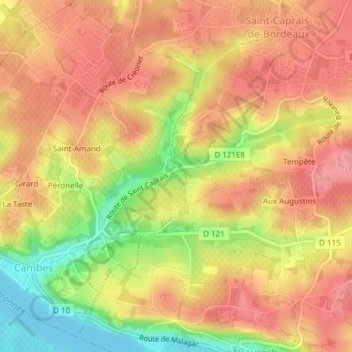
Name: 33880 topographic map, elevation, terrain.
Average elevation: 61 m
Minimum elevation: -4 m
Maximum elevation: 95 m
Other topographic maps
Click on a map to view its topography, its elevation and its terrain.
Girard
France > Nouvelle-Aquitaine > Gironde > Cambes
Girard, Cambes, Bordeaux, Gironde, Nouvelle-Aquitaine, France métropolitaine, 33880, France
Average elevation: 39 m