
Ruiz topographic map
Interactive map
Click on the map to display elevation.
About this map
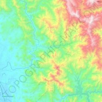
Name: Ruiz topographic map, elevation, terrain.
Location: Ruiz, Nayarit, México (21.87199 -105.23262 22.16124 -104.79217)
Average elevation: 623 m
Minimum elevation: 19 m
Maximum elevation: 2,204 m
Other topographic maps
Click on a map to view its topography, its elevation and its terrain.