
Neerpelt topographic map
Interactive map
Click on the map to display elevation.
About this map
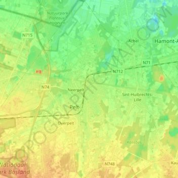
Name: Neerpelt topographic map, elevation, terrain.
Location: Neerpelt, Pelt, Maaseik, Limburg, Vlaanderen, 3910, België (51.18203 5.39948 51.27640 5.48951)
Average elevation: 41 m
Minimum elevation: 24 m
Maximum elevation: 59 m
Other topographic maps
Click on a map to view its topography, its elevation and its terrain.