
Mason topographic map
Interactive map
Click on the map to display elevation.
About this map
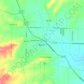
Name: Mason topographic map, elevation, terrain.
Location: Mason, Mason County, Texas, 76856, VS (30.73367 -99.25132 30.76288 -99.20185)
Average elevation: 484 m
Minimum elevation: 454 m
Maximum elevation: 544 m