
Morganville topographic map
Interactive map
Click on the map to display elevation.
About this map
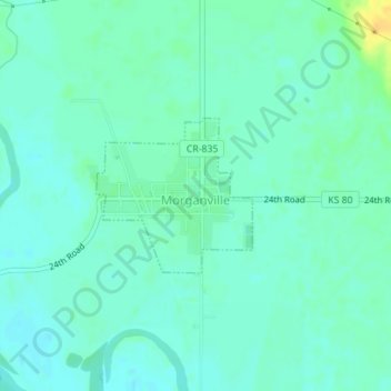
Name: Morganville topographic map, elevation, terrain.
Location: Morganville, Clay County, Kansas, United States (39.46131 -97.21089 39.47202 -97.19687)
Average elevation: 376 m
Minimum elevation: 369 m
Maximum elevation: 395 m