

Luttach topographic map
Click on the map to display elevation.
Luttach
Luttach (im lokalen Dialekt Luchta, italienisch Lutago genannt) ist eine Fraktion der Gemeinde Ahrntal im Nordosten Südtirols (Italien). Luttach ist das zweitgrößte Dorf der Gemeinde mit 1127 Einwohnern (31. Dezember 2020). Luttach, eines der wichtigsten touristischen Zentren im Ahrntal, liegt auf einer Höhe von 956 m s.l.m. und ist der tiefstgelegene Ort im Ahrntal. Ab Luttach ändert das Ahrntal, das zunächst ab Sand in Taufers wie das Tauferer Tal in nördliche Richtung verläuft, seinen Verlauf in nordöstliche Richtung. Zudem zweigt im Ort nach Westen das Weißenbachtal ab. Der Ort wird von der SS 621 für den Kraftverkehr erschlossen und von der Ahr durchflossen. Luttach liegt südlich des Zillertaler Hauptkamms, in dem nahe dem Ort die Hornspitzen, der Schwarzenstein und der Große Löffler die markantesten Gipfel sind.
About this map
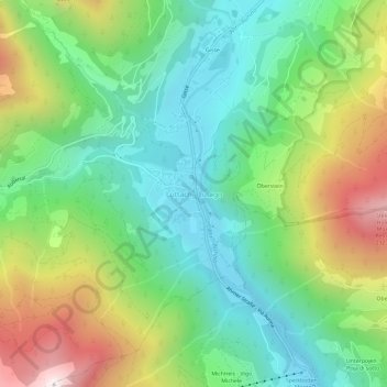
Name: Luttach topographic map, elevation, terrain.
Average elevation: 1,372 m
Minimum elevation: 933 m
Maximum elevation: 2,204 m