
Aist topographic map
Interactive map
Click on the map to display elevation.
About this map
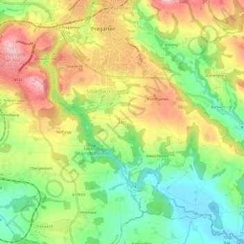
Name: Aist topographic map, elevation, terrain.
Location: Aist, Pregarten, Bezirk Freistadt, 4230, Österreich (48.31963 14.51540 48.35963 14.55540)
Average elevation: 389 m
Minimum elevation: 306 m
Maximum elevation: 483 m