
Lawn topographic map
Interactive map
Click on the map to display elevation.
About this map
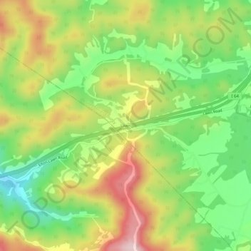
Name: Lawn topographic map, elevation, terrain.
Location: Lawn, Greenbrier County, West Virginia, 24943, United States (37.81984 -80.77286 37.85984 -80.73286)
Average elevation: 792 m
Minimum elevation: 639 m
Maximum elevation: 981 m
Other topographic maps
Click on a map to view its topography, its elevation and its terrain.
Maxwelton
United States > West Virginia > Greenbrier County
Maxwelton, Greenbrier County, West Virginia, 24957, United States
Average elevation: 697 m