
Krast topographic map
Interactive map
Click on the map to display elevation.
About this map
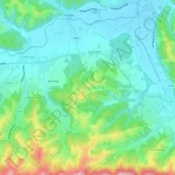
Name: Krast topographic map, elevation, terrain.
Location: Krast, Oberhaag, Bezirk Leibnitz, Estiria, 8455, Austria (46.65969 15.35369 46.69969 15.39369)
Average elevation: 361 m
Minimum elevation: 300 m
Maximum elevation: 527 m