
Shepards Hill topographic map
Interactive map
Click on the map to display elevation.
About this map
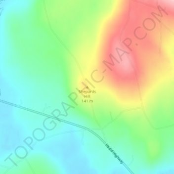
Name: Shepards Hill topographic map, elevation, terrain.
Location: Shepards Hill, Union, Knox County, Maine, United States (44.23058 -69.32454 44.23068 -69.32444)
Average elevation: 99 m
Minimum elevation: 37 m
Maximum elevation: 204 m