
Tejocotal topographic map
Interactive map
Click on the map to display elevation.
About this map
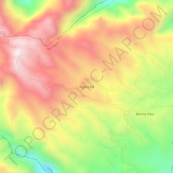
Name: Tejocotal topographic map, elevation, terrain.
Location: Tejocotal, Tonayán, Veracruz de Ignacio de la Llave, México (19.71417 -96.95917 19.75417 -96.91917)
Average elevation: 2,215 m
Minimum elevation: 1,743 m
Maximum elevation: 2,596 m