
Ash topographic map
Interactive map
Click on the map to display elevation.
About this map
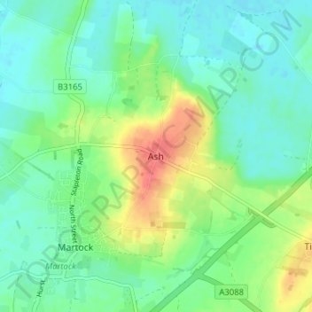
Name: Ash topographic map, elevation, terrain.
Average elevation: 24 m
Minimum elevation: 7 m
Maximum elevation: 61 m
Other topographic maps
Click on a map to view its topography, its elevation and its terrain.
Ash
United Kingdom > England > Ash
Ash, Kent, South East, England, CT3 2BG, United Kingdom
Average elevation: 16 m