Geolocate

Xing County topographic map

Click on the map to display elevation.

About this map

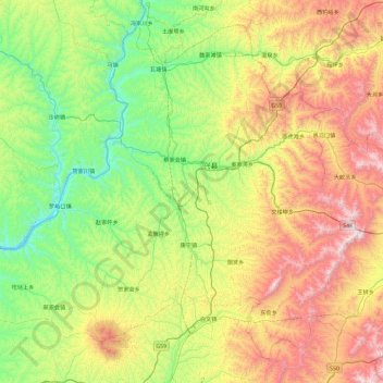
Name: Xing County topographic map, elevation, terrain.

Location: Xing County, Lüliang City, Shanxi, China (38.09432 110.54767 38.73027 111.47642)

Average elevation: 1,246 m

Minimum elevation: 727 m

Maximum elevation: 2,244 m

Gear up for your next adventure:

🥾Hiking Shoes - Lightweight hiking shoes for day hikes
🛰️Handheld GPS Units - Rugged GPS devices for tracking coordinates and elevation in the Australian bush
🛌Sleeping Bags - Sleeping bags for outdoor camping
🎒Tactical Waist Packs - Quick access to your compass, phone, and snacks while walking
📻Handheld UHF Radios - Critical communication for groups in the Australian outback

As an Amazon Associate, this site earns from qualifying purchases at no extra cost to you.