
Vegaquemada topographic map
Interactive map
Click on the map to display elevation.
About this map
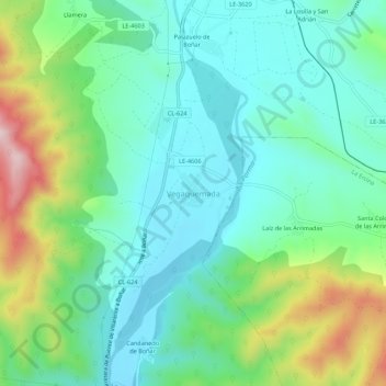
Name: Vegaquemada topographic map, elevation, terrain.
Location: Vegaquemada, León, Castilla y León, 24850, España (42.79878 -5.35228 42.83878 -5.31228)
Average elevation: 1,019 m
Minimum elevation: 922 m
Maximum elevation: 1,273 m