
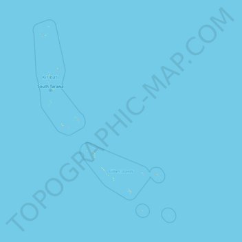
Gilbert Islands topographic map
Interactive map
Click on the map to display elevation.
About this map
Name: Gilbert Islands topographic map, elevation, terrain.
Location: Gilbert Islands, Kiribati (-2.87636 169.32074 3.59950 177.04912)
Average elevation: 0 m
Minimum elevation: 0 m
Maximum elevation: 18 m
Other topographic maps
Click on a map to view its topography, its elevation and its terrain.