
Riudarenes topographic map
Interactive map
Click on the map to display elevation.
About this map
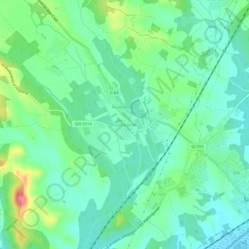
Name: Riudarenes topographic map, elevation, terrain.
Location: Riudarenes, Selva, Girona, Katalonien, 17421, Spanien (41.80185 2.69638 41.84185 2.73638)
Average elevation: 94 m
Minimum elevation: 65 m
Maximum elevation: 169 m