
Plan topographic map
Interactive map
Click on the map to display elevation.
About this map
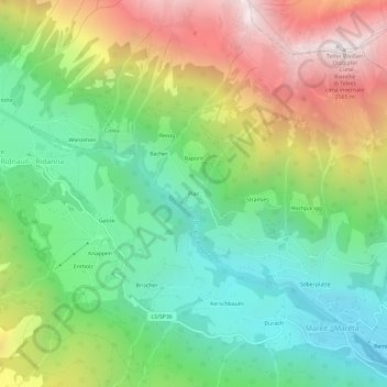
Name: Plan topographic map, elevation, terrain.
Location: Plan, Ratschings, Wipptal, Bozen, Trentino-Südtirol, Italien (46.88656 11.31005 46.92656 11.35005)
Average elevation: 1,602 m
Minimum elevation: 1,007 m
Maximum elevation: 2,560 m