
Aichkirchen topographic map
Interactive map
Click on the map to display elevation.
About this map
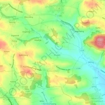
Name: Aichkirchen topographic map, elevation, terrain.
Location: Aichkirchen, Wels-Land, Oberösterreich, 4671, Österreich (48.10233 13.75371 48.12731 13.80700)
Average elevation: 433 m
Minimum elevation: 380 m
Maximum elevation: 502 m