
Sylvan Shores topographic map
Interactive map
Click on the map to display elevation.
About this map
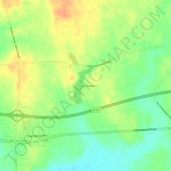
Name: Sylvan Shores topographic map, elevation, terrain.
Location: Sylvan Shores, Clark County, Ohio, 45369, USA (39.91978 -83.61103 39.95978 -83.57103)
Average elevation: 367 m
Minimum elevation: 348 m
Maximum elevation: 386 m