
Río Cangrejal topographic map
Interactive map
Click on the map to display elevation.
About this map
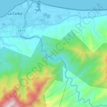
Name: Río Cangrejal topographic map, elevation, terrain.
Location: Río Cangrejal, La Ceiba, Atlántida, Honduras (15.66627 -86.78552 15.80001 -86.69037)
Average elevation: 399 m
Minimum elevation: -1 m
Maximum elevation: 2,175 m
Other topographic maps
Click on a map to view its topography, its elevation and its terrain.