
Boonda topographic map
Interactive map
Click on the map to display elevation.
About this map
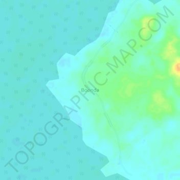
Name: Boonda topographic map, elevation, terrain.
Location: Boonda, Tshuapa, Democratic Republic of the Congo (-0.34539 20.80028 -0.30539 20.84028)
Average elevation: 335 m
Minimum elevation: 329 m
Maximum elevation: 360 m
Other topographic maps
Click on a map to view its topography, its elevation and its terrain.
Baringa
Democratic Republic of the Congo > Tshuapa
Baringa, Tshuapa, Democratic Republic of the Congo
Average elevation: 346 m