
Meixedo topographic map
Interactive map
Click on the map to display elevation.
About this map
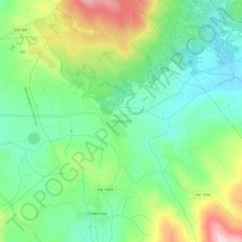
Name: Meixedo topographic map, elevation, terrain.
Location: Meixedo, Montalegre, Vila Real, 5470-281, Portugal (41.81496 -7.75973 41.85496 -7.71973)
Average elevation: 1,000 m
Minimum elevation: 897 m
Maximum elevation: 1,195 m
Other topographic maps
Click on a map to view its topography, its elevation and its terrain.
Pico da Nevosa
Portugal > Vila Real > Montalegre
Pico da Nevosa, Montalegre, Vila Real, Portugal
Average elevation: 1,360 m