
三坑村 topographic map
Interactive map
Click on the map to display elevation.
About this map
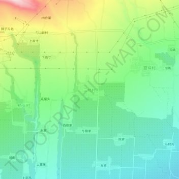
Name: 三坑村 topographic map, elevation, terrain.
Location: 三坑村, 芮城县, 运城市, 山西省, 中国 (34.71177 110.60862 34.75177 110.64862)
Average elevation: 683 m
Minimum elevation: 579 m
Maximum elevation: 898 m
Other topographic maps
Click on a map to view its topography, its elevation and its terrain.