Geolocate

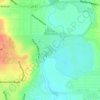
Selma topographic map

Click on the map to display elevation.

About this map

Name: Selma topographic map, elevation, terrain.

Location: Selma, Bexar County, Texas, United States (29.56844 -98.34165 29.60764 -98.29056)

Average elevation: 238 m

Minimum elevation: 218 m

Maximum elevation: 289 m

Other topographic maps

Click on a map to view its topography, its elevation and its terrain.
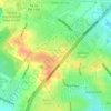
San Antonio

United States > Texas > Bexar County > San Antonio

Average elevation: 218 m

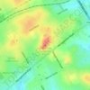
Sedona

United States > Texas > Bexar County > San Antonio

Average elevation: 301 m

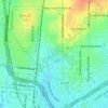
Theis Hill

United States > Texas > Bexar County > San Antonio

Average elevation: 258 m

Mount Smith

United States > Texas > Bexar County

Average elevation: 515 m

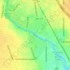
Eldorado Lake

United States > Texas > Bexar County > San Antonio

Average elevation: 250 m

Gear up for your next adventure:

🥤Outdoor Water Bottles - Reusable bottles for outdoor activities
🧴SPF 50+ Bulk Sunscreen - Maximum protection for long-term outdoor exposure
🎨Portable Watercolor Kits - Paint the landscapes and topographic views you discover
🚁Camera Drones with GPS - Capture aerial views of the landscape to compare with topo maps
🪢Paracord - Multi-purpose survival cord

As an Amazon Associate, this site earns from qualifying purchases at no extra cost to you.