
Prestenberg topographic map
Interactive map
Click on the map to display elevation.
About this map
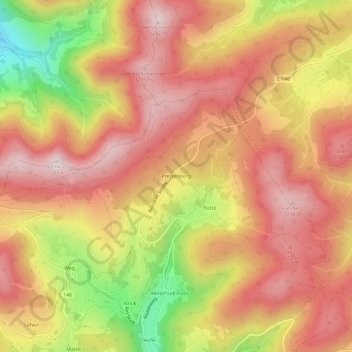
Name: Prestenberg topographic map, elevation, terrain.
Average elevation: 1,042 m
Minimum elevation: 711 m
Maximum elevation: 1,240 m
Other topographic maps
Click on a map to view its topography, its elevation and its terrain.
Todtmoos
Deutschland > Baden-Württemberg > Landkreis Waldshut > Todtmoos
Todtmoos, Verwaltungsverband St. Blasien, Landkreis Waldshut, Baden-Württemberg, 79682, Deutschland
Average elevation: 977 m