
Santo Estevo topographic map
Interactive map
Click on the map to display elevation.
About this map
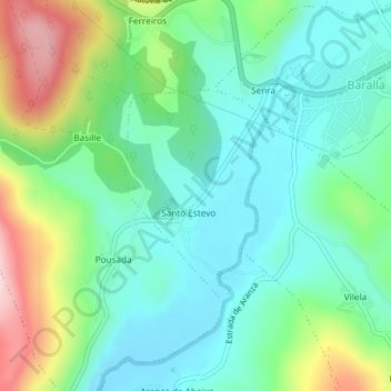
Name: Santo Estevo topographic map, elevation, terrain.
Location: Santo Estevo, Baralla, Ancares, Lugo, Galicia, España (42.87858 -7.27280 42.89331 -7.25933)
Average elevation: 540 m
Minimum elevation: 462 m
Maximum elevation: 728 m