
Darreh Shahr topographic map
Interactive map
Click on the map to display elevation.
About this map
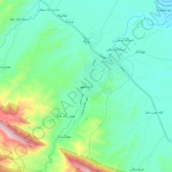
Name: Darreh Shahr topographic map, elevation, terrain.
Average elevation: 734 m
Minimum elevation: 554 m
Maximum elevation: 1,324 m
The elevation of the town varies from 635 m (2,083 ft) in the northeast to 695 m (2,280 ft) in the southwest areas which are closer to the mountains.