
Majors Creek topographic map
Interactive map
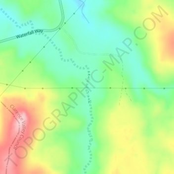
Click on the map to display elevation.
About this map
Name: Majors Creek topographic map, elevation, terrain.
Average elevation: 1,307 m
Minimum elevation: 1,234 m
Maximum elevation: 1,416 m
New South Wales trails, hiking, mountain biking, running and outdoor activities
Other topographic maps
Click on a map to view its topography, its elevation and its terrain.