
Хутаг-Өндөр topographic map
Interactive map
Click on the map to display elevation.
About this map
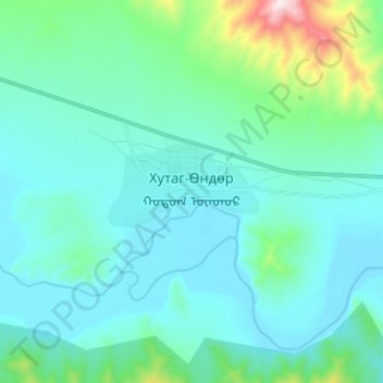
Name: Хутаг-Өндөр topographic map, elevation, terrain.
Location: Хутаг-Өндөр, Khutag-Öndör, Bulgan, Mongolei (49.35192 102.66348 49.43192 102.74348)
Average elevation: 1,024 m
Minimum elevation: 916 m
Maximum elevation: 1,655 m