
Chablekal topographic map
Interactive map
Click on the map to display elevation.
About this map
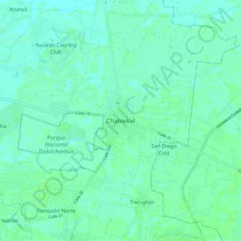
Name: Chablekal topographic map, elevation, terrain.
Location: Chablekal, Mérida, Yucatán, 97500, México (21.05569 -89.61720 21.13569 -89.53720)
Average elevation: 7 m
Minimum elevation: 4 m
Maximum elevation: 10 m
Other topographic maps
Click on a map to view its topography, its elevation and its terrain.
Acuaparque
México > Yucatán > Mérida > Mérida
Acuaparque, Mérida, Yucatán, 97173, México
Average elevation: 11 m