
神拖阔 topographic map
Interactive map
Click on the map to display elevation.
About this map
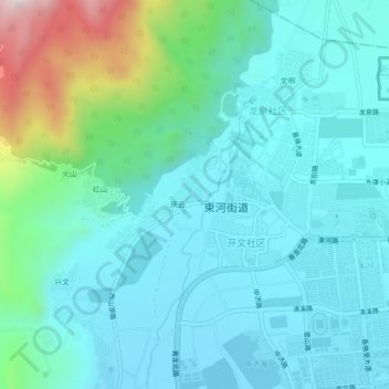
Name: 神拖阔 topographic map, elevation, terrain.
Location: 神拖阔, 束河街道, 古城区, 丽江市, 云南省, 中国 (26.89896 100.17769 26.93896 100.21769)
Average elevation: 2,526 m
Minimum elevation: 2,408 m
Maximum elevation: 3,034 m
Other topographic maps
Click on a map to view its topography, its elevation and its terrain.