
长兴岛街道 topographic map
Interactive map
Click on the map to display elevation.
About this map
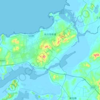
Name: 长兴岛街道 topographic map, elevation, terrain.
Location: 长兴岛街道, 瓦房店市, 大连市, 辽宁省, 中国 (39.46441 121.22326 39.65972 121.53618)
Average elevation: 18 m
Minimum elevation: -4 m
Maximum elevation: 284 m
Other topographic maps
Click on a map to view its topography, its elevation and its terrain.