
Antas topographic map
Interactive map
Click on the map to display elevation.
About this map
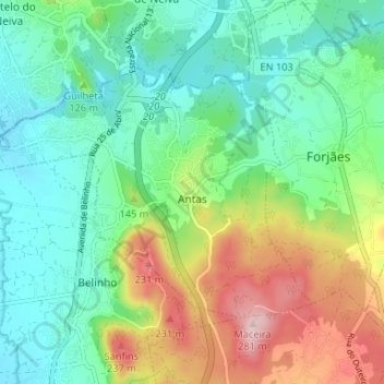
Name: Antas topographic map, elevation, terrain.
Location: Antas, Esposende, Braga, Portugal (41.58392 -8.81157 41.61616 -8.74579)
Average elevation: 87 m
Minimum elevation: 1 m
Maximum elevation: 271 m