
Chessell topographic map
Interactive map
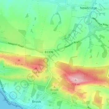
Click on the map to display elevation.
About this map
Name: Chessell topographic map, elevation, terrain.
Average elevation: 69 m
Minimum elevation: 0 m
Maximum elevation: 199 m
Other topographic maps
Click on a map to view its topography, its elevation and its terrain.
Ventnor
United Kingdom > England > Isle of Wight
Ventnor's landmarks arise from its natural environment, its Victorian heritage, and its tourist appeal past and present. Although modest in altitude at 241 metres (791 ft), the chalk St Boniface Down is 1⁄2 mile (0.80 km) north of the town. The downs have a thick layer of acid flint gravels, with dry…
Average elevation: 69 m