
Changqing topographic map
Click on the map to display elevation.
About this map
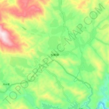
Name: Changqing topographic map, elevation, terrain.
Location: Changqing, Anxi County, Quanzhou, Fujian, China (25.15638 117.82741 25.23638 117.90741)
Average elevation: 740 m
Minimum elevation: 422 m
Maximum elevation: 1,250 m