
Nubra topographic map
Interactive map
Click on the map to display elevation.
About this map
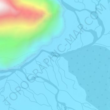
Name: Nubra topographic map, elevation, terrain.
Location: Nubra, Leh, Leh District, Jammu and Kashmir, India (34.59068 77.57797 34.59798 77.60057)
Average elevation: 3,205 m
Minimum elevation: 3,097 m
Maximum elevation: 3,982 m