
Sheffield topographic map
Click on the map to display elevation.
About this map
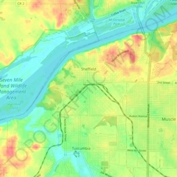
Name: Sheffield topographic map, elevation, terrain.
Location: Sheffield, Colbert County, Alabama, 35660, United States (34.73109 -87.74110 34.78064 -87.66659)
Average elevation: 150 m
Minimum elevation: 126 m
Maximum elevation: 188 m