
Huarapa topographic map
Interactive map
Click on the map to display elevation.
About this map
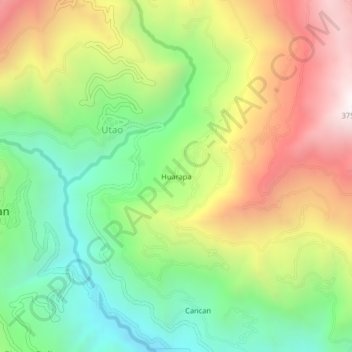
Name: Huarapa topographic map, elevation, terrain.
Location: Huarapa, Utao, Churubamba, Huánuco, Perú (-9.79057 -76.22659 -9.75057 -76.18659)
Average elevation: 2,930 m
Minimum elevation: 2,348 m
Maximum elevation: 3,706 m