
Mohri topographic map
Interactive map
Click on the map to display elevation.
About this map
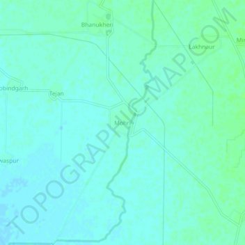
Name: Mohri topographic map, elevation, terrain.
Location: Mohri, Ambala, Haryana, India (30.24442 76.73323 30.28442 76.77323)
Average elevation: 262 m
Minimum elevation: 259 m
Maximum elevation: 267 m