
№ 5 Dry Dock topographic map
Interactive map
Click on the map to display elevation.
About this map
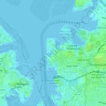
Name: № 5 Dry Dock topographic map, elevation, terrain.
Location: № 5 Dry Dock, Portsea, Portsmouth, England, United Kingdom (50.80295 -1.10951 50.80318 -1.10838)
Average elevation: 2 m
Minimum elevation: -3 m
Maximum elevation: 11 m
Other topographic maps
Click on a map to view its topography, its elevation and its terrain.
Portsmouth
United Kingdom > England > Portsmouth
Portsmouth, South East England, England, United Kingdom
Average elevation: 6 m
Portsmouth
United Kingdom > England > Portsmouth
Portsmouth, South East, England, PO1 5QH, United Kingdom
Average elevation: 28 m