
Saint Gilles topographic map
Interactive map
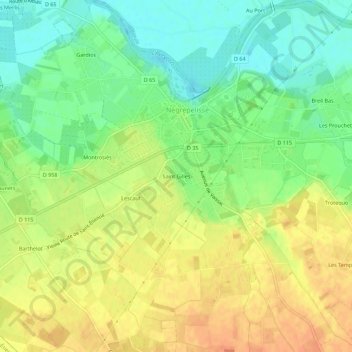
Click on the map to display elevation.
About this map
Name: Saint Gilles topographic map, elevation, terrain.
Average elevation: 107 m
Minimum elevation: 87 m
Maximum elevation: 125 m
Other topographic maps
Click on a map to view its topography, its elevation and its terrain.
Château
France > Occitanie > Tarn-et-Garonne > Nègrepelisse
Château, Place du Château, Nègrepelisse, Montauban, Tarn-et-Garonne, Occitanie, France métropolitaine, 82800, France
Average elevation: 101 m