
Itagüí topographic map
Interactive map
Click on the map to display elevation.
About this map
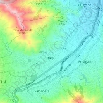
Name: Itagüí topographic map, elevation, terrain.
Location: Itagüí, Valle de Aburrá, Antioquia, Colômbia (6.15351 -75.64580 6.19928 -75.58086)
Average elevation: 1,670 m
Minimum elevation: 1,494 m
Maximum elevation: 2,228 m