
Round Lake Park topographic map
Interactive map
Click on the map to display elevation.
About this map
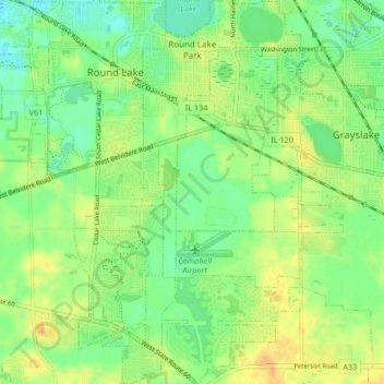
Name: Round Lake Park topographic map, elevation, terrain.
Location: Round Lake Park, Lake County, Illinois, United States (42.30330 -88.08780 42.36477 -88.05305)
Average elevation: 242 m
Minimum elevation: 227 m
Maximum elevation: 259 m