Geolocate

Wickham topographic map

Click on the map to display elevation.

About this map
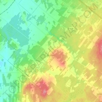
Name: Wickham topographic map, elevation, terrain.

Location: Wickham, Drummond, Centre-du-Québec, Quebec, J0C 1S0, Canada (45.70077 -72.57813 45.82811 -72.40921)

Average elevation: 104 m

Minimum elevation: 69 m

Maximum elevation: 160 m

Gear up for your next adventure:

🔦Headlamps - Hands-free lighting for hiking
🎒Ultralight Backpacks - Lightweight packs for long hikes
🌧️Rain Jackets - Waterproof jackets for hiking
🎒Dry Bags - Waterproof bags for outdoor gear
🎒Daypacks - Compact backpacks for short hikes

As an Amazon Associate, this site earns from qualifying purchases at no extra cost to you.