
Hoogvliet Rotterdam topographic map
Interactive map
Click on the map to display elevation.
About this map
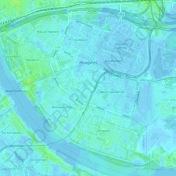
Name: Hoogvliet Rotterdam topographic map, elevation, terrain.
Location: Hoogvliet Rotterdam, Rotterdam, South Holland, Netherlands (51.84212 4.33061 51.87794 4.38803)
Average elevation: 2 m
Minimum elevation: -5 m
Maximum elevation: 11 m