
Incahuasi topographic map
Interactive map
Click on the map to display elevation.
About this map
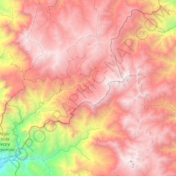
Name: Incahuasi topographic map, elevation, terrain.
Location: Incahuasi, Provincia de Ferreñafe, Lambayeque, Perú (-6.40198 -79.54336 -6.07403 -79.24909)
Average elevation: 2,663 m
Minimum elevation: 301 m
Maximum elevation: 4,098 m