
Thomas County topographic map
Interactive map
Click on the map to display elevation.
About this map
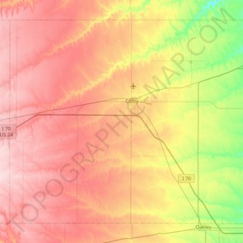
Name: Thomas County topographic map, elevation, terrain.
Location: Thomas County, Kansas, United States (39.13305 -101.39128 39.56880 -100.72011)
Average elevation: 975 m
Minimum elevation: 869 m
Maximum elevation: 1,069 m